Indian Geography Practice Question and Answer
8 Q: Which of the following is/are not an artificial lake?
1- Govind Sagar
2- Chilka lake
3- Naini lake
4- Bhimtal lake
1097 06329c3ca751e5310a5bb8744
6329c3ca751e5310a5bb8744- 11 onlyfalse
- 21 and 4 onlyfalse
- 32 and 3 onlytrue
- 43 and 4 onlyfalse
- Show AnswerHide Answer
- Workspace
- SingleChoice
Answer : 3. "2 and 3 only"
Q: Which one of the following in the atmosphere is mainly responsible for absorbing terrestrial radiation?
1095 0638e24ba34f83f147292039c
638e24ba34f83f147292039c- 1Oxygenfalse
- 2Ozonefalse
- 3Carbon dioxidetrue
- 4Nitrogenfalse
- Show AnswerHide Answer
- Workspace
- SingleChoice
Answer : 3. "Carbon dioxide"
Q: The Indian Standard Time is calculated from the clock tower of ______.
1094 06438f74932185cce373704de
6438f74932185cce373704de- 1Hamirpurfalse
- 2Rampurfalse
- 3Mirzapurtrue
- 4Sambalpurfalse
- Show AnswerHide Answer
- Workspace
- SingleChoice
Answer : 3. "Mirzapur"
Explanation :
Indian Standard Time is calculated from the clock tower in Mirzapur nearly exactly on the reference longitude of IST at 82°30'E, within four angular minutes. In 1905, the meridian passing east of Allahabad was declared as a standard time zone for British India and was declared as IST in 1947 for the Dominion of India.
Q: Which is the last point of Southern India-
1092 0632da7c21656651c9eaa9707
632da7c21656651c9eaa9707- 1Cape Comorinfalse
- 2Kanyakumarifalse
- 3Indira pointtrue
- 4Port Blairfalse
- Show AnswerHide Answer
- Workspace
- SingleChoice
Answer : 3. "Indira point "
Explanation :
Indira Point is the southern tip of the Indian Ocean island of Great Nicobar, in the Nicobar Islands south of Burma. It represents the southernmost point of Indian national territory, some 1100 miles ESE of India’s mainland and only about 100 miles NE of Sumatra in Indonesia.
Q: The ______ plateau is subdivided into the Garo Hills, the Khasi Hills, and the Jaintia Hills, named after the tribal groups inhabiting the region.
1092 064b1455188d5e4f52dc4f23d
64b1455188d5e4f52dc4f23d- 1Chota Nagpurfalse
- 2Baghelkhandfalse
- 3Malwafalse
- 4Meghalayatrue
- Show AnswerHide Answer
- Workspace
- SingleChoice
Answer : 4. "Meghalaya"
Explanation :
1. The Meghalaya Plateau is sub-divided into the Garo Hills, Khasi Hills and Jaintia Hills, named after the tribal groups living in the region.
Q: The core of the earth is mainly made up of ______.
1091 064391ec65e6b046f1bfbed3c
64391ec65e6b046f1bfbed3c- 1nickel and silicafalse
- 2silica and magnesiumfalse
- 3nickel and irontrue
- 4silica and aluminafalse
- Show AnswerHide Answer
- Workspace
- SingleChoice
Answer : 3. "nickel and iron "
Q: Which of the following is the only large river in the Indian desert?
1091 0640f30ac539cee0fcab7dbd0
640f30ac539cee0fcab7dbd0- 1Kosi Riverfalse
- 2Betwa Riverfalse
- 3Luni Rivertrue
- 4Banas Riverfalse
- Show AnswerHide Answer
- Workspace
- SingleChoice
Answer : 3. "Luni River "
Q: In which of the following regions of India is the natural habitat of White-bellied Heron largely distributed?
1089 064a2ad34ab3c5fffc2fa31f9
64a2ad34ab3c5fffc2fa31f9- 1North-easttrue
- 2Northern plainsfalse
- 3Deccan plateaufalse
- 4Western coastfalse
- Show AnswerHide Answer
- Workspace
- SingleChoice
Answer : 1. "North-east"
Explanation :
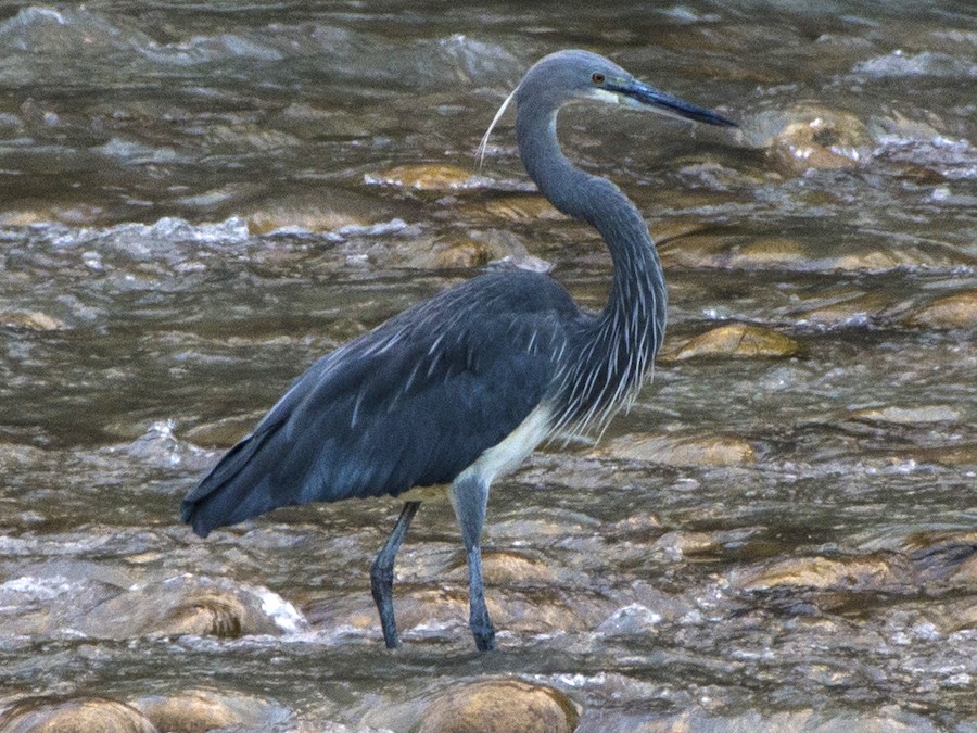 1. White-bellied Heron naturally inhabits the north-eastern region of India.
2. The bellied Heron is a bird which is mostly found in the low-altitude marshy areas of the Himalayas.
3. It is also called imperial heron in India.
4. In the year 2007, it was listed as 'Critically Endangered' in the Red List of the International Union for Conservation of Nature (IUCN).